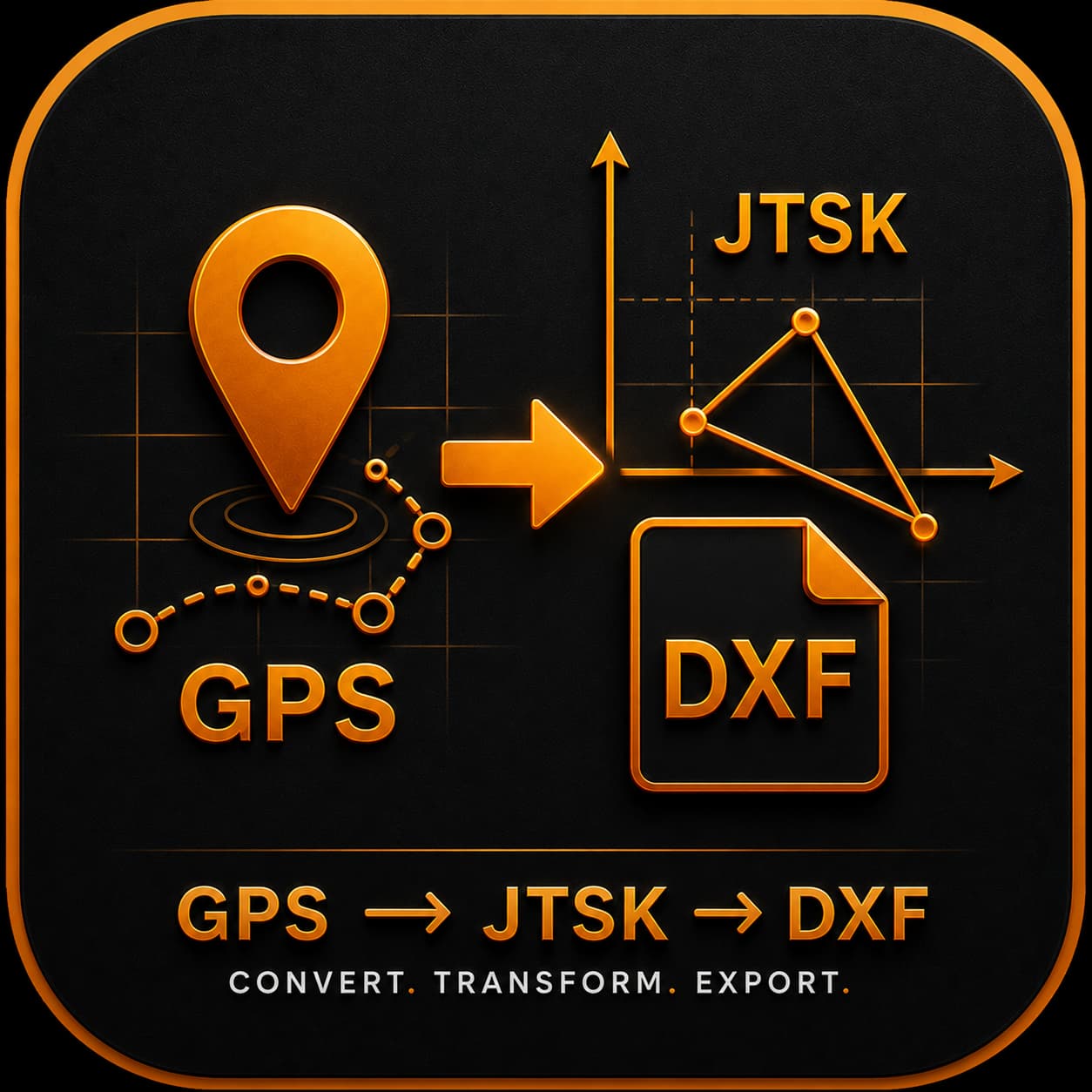
No install, no registration, no servers. GPS coordinates from your phone are converted to the Slovak S-JTSK system (EPSG:5514) and exported to DXF (AutoCAD-compatible) or CSV. Everything runs in your phone — no data leaves the device.
A hobby and working GPS tool — not a replacement for a certified surveyor.
Your own plot, fence, house, well — record positions for personal use.
Tree positions, shrubs, drainage elements in an orchard or garden.
Preliminary site sketch before a certified surveyor visits.
Quick field position capture for later processing.
When they don't have their gear with them and need to jot down auxiliary points.
Not a replacement for cadastral surveying. Officially recognized measurement requires a certified surveyor with calibrated equipment — this tool produces working points with ±1 to ±10 m accuracy.
Phone GPS gives you a radius of probable position — typically 1-sigma (68 % confidence).
| Environment | Common phone (single-freq GPS) | Modern phone (L1+L5 dual-freq) |
|---|---|---|
| Open field, clear sky | 3–5 m | 1–2 m |
| Roadside, sparse trees | 5–10 m | 2–5 m |
| Dense forest, tree cover | 10–20 m | 5–10 m |
| Narrow city streets | 5–15 m | 3–6 m |
| Next to tall walls / under balcony | 20–50 m | 10–20 m |
| Indoor / fog | unusable | unusable |
The newer the model, the better:
If you don't know whether your phone has it, install GPSTest (Android) or GPSTools (iOS) and check if you see L5 frequency in addition to L1.
A pole in a field, a property fence, a tree in an orchard — a modern phone with averaging will give you about 1–3 m accuracy. Plenty for hobby and working use.
A building corner, a precise boundary stone, cadastre — not enough. You need a surveyor or a professional GNSS rover (see below).
On MEASURE the app collects 5, 10 or 30 seconds of GPS fixes, discards outliers (>2σ) and stores the averaged position with empirical standard deviation σ_H and σ_Z. A stationary point over 10–30 s typically reduces noise by √n — from ±3 m fixes you get ±1 m averaged.
🟢 ≤3 m — good
🟠 3–7 m — average
🔴 >7 m — wait for GPS to converge, or find a more open spot.
• Hold the phone level, at least chest height.
• Wait 30–60 s after opening the app for warm-up.
• Avoid metal buildings, cars, dense tree canopies.
• If σ_H is poor, walk 1 m and back — GPS sometimes "freezes" on a bad reading.
Phone GPS has a ceiling — for higher accuracy demands, an external receiver helps.
Examples: Garmin GLO 2, Bad Elf GNSS Pro+, u-blox NEO-M9N + Bluetooth module
Catch: the browser (Geolocation API) cannot use this device. JavaScript in a browser only has access to the phone's internal GPS — external Bluetooth GPS is OS-level and only visible to native apps with the right permissions.
To use an external receiver, you'd need a native Android version (could be added as a sibling app in the future — watch the BlueberryS Digital portfolio).
Examples: Emlid Reach RS2/RX, Trimble R1, Stonex S70G, CHC i73
This is full geodetic gear. If you regularly need cm-level accuracy (cadastre, design documents), the investment pays off. For occasional use, hiring a certified surveyor is cheaper.
| Your goal | What you need | Cost (one-off) |
|---|---|---|
| "Notes on tree positions in an orchard" | Common phone + this app | €0 |
| "Rough plot perimeter" | Modern phone (L1+L5) + 30 s averaging | €0 |
| "Preliminary sketch before a surveyor visit" | Same | €0 |
| "Consistent sub-meter in the field" | Bluetooth GNSS + a native Android app (not yet a sibling of this PWA) | €150–300 |
| "Cadastre, technical documentation" | RTK rover + SKPOS, or a surveyor | €2,000+ one-off or €200–500/job |
Honest list — this isn't an RTK rover.
T, walls W, plots P…)Stays in the user's hands.
localStorage)The app needs no installation in the classical sense — just open the link in your phone browser.
For offline use and a home-screen icon:
⋮ menu → "Add to Home screen"
Share icon → "Add to Home Screen"
Once added, the app feels native — its own icon, fullscreen, offline-capable (the full app is downloaded on first visit).